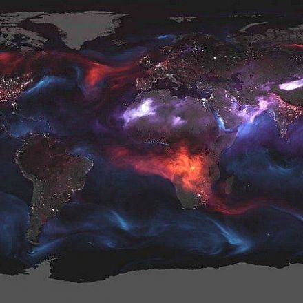
The air quality looks even worse from space. Yesterday, NASA released a visualization of Earth showing all the aerosols we are currently breathing in. In order to create this image of aerosol plumes, a variety of satellites and sensors were used. According to NASA, aerosols are specks of solids and liquids that drift through the air. These particles become visible when smoke billows from a wildfire or when dust blows in the wind.
Read more:
https://www.kelownanow.com/watercooler/news/news/Wildfire/NASA_releases_map_showing_the_amount_of_aerosol_particles_created_from_the_fires/?source=Snapzu

No comments:
Post a Comment